
63.57 Acres (25.72 ha) or thereabouts of grassland. To Let by Private Treaty for a term of 3- 5 years
Hedon 2 miles I Hull 8 miles I Beverley 20 miles
BEST AND FINAL OFFERS BY 3PM THURSDAY 3RD APRIL 2025
DESCRIPTION
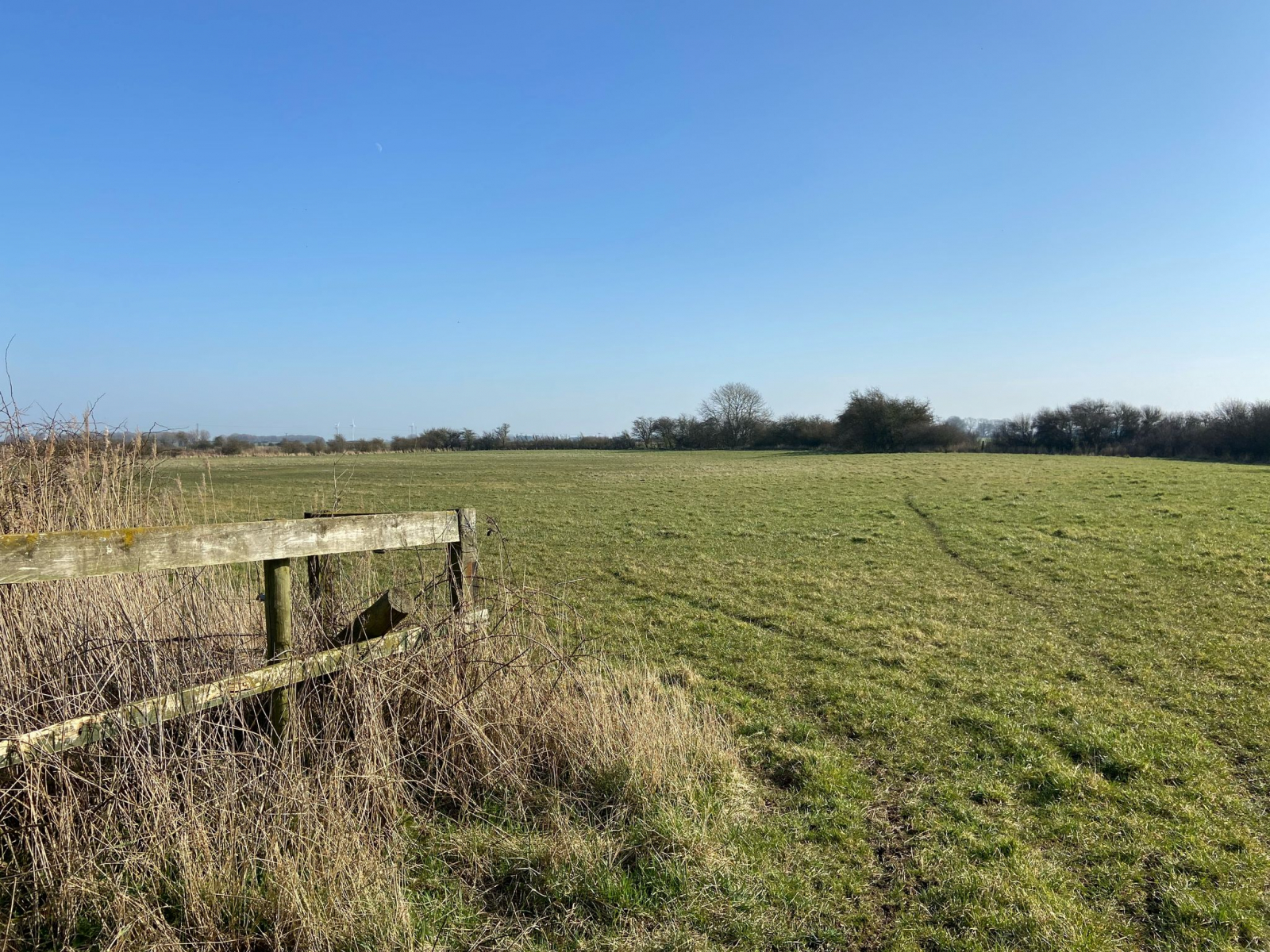
A rarity in the Holderness region, the land comprises a substantial and versatile block of productive grassland extending in total to 63.57 acres (25.72 hectares) or thereabouts, as outlined in red on the attached plan. The land is well suited to the grazing of livestock or mowing to produce silage or hay.
The Grade 2 land includes soils classified within the "Holderness" and "Wallasea 2" soil series which, although currently down to grassland, is suitable for growing a range of winter cereals, subject to the necessary statutory consent.
LOCATION AND ACCESS
The land lies to the north of Thorngumbald village, accessed by a private track off the A1033 Main Road and through Holme Farm yard, as shown in yellow on the attached plan.
CROPPING HISTORY
The land is down to grass but is known to have been in an arable rotation in the past
TERMS OF THE TENANCY
- The land will be let for a 3 or 5 year term commencing on April 2025.
- The Tenant will use the land for agricultural purposes only.
- The rent will be payable half yearly in arrears at 6th April and 10th October each year. However, the first rent payment will be due on the tenancy commencement date and thereafter in arrears.
- The Tenant will be responsible for all outgoings.
- Subletting or assignment is not permitted.
- The Tenant will be responsible for all hedges and for keeping and leaving the land in good condition.
- The Tenant is not to plough out any area recorded in the attached schedule without the prior written consent of Natural England and the Landlord, the grant of which will trigger a rent review.
- The Tenant will be responsible for the cost of Public Liability Insurance in each year of the tenancy.
AGRI ENVIRONMENT SCHEMES
The land is not part of an existing agri-environment scheme.
INFRASTRUCTURE SCHEMES
We believe land in the northeast of the block to be located on the route of the proposed Humber Carbon Capture Pipeline scheme.
SERVICES
Mains water is available .The existing supply may need to be submetred from the adjoining house and buildings.
NITRATE VULNERABLE ZONE
The land is included within a Nitrate Vulnerable Zone
METHOD OF LETTING
The land is to be let by Private Treaty with offers invited or alternatively by Formal Tender on a Farm Business Tenancy Agreement for a term of 3- 5 years commencing April 2025.
A paddock to the front of the land with frontage onto the A1033, as outlined in blue on the attached plan, may be available by separate negotiation.
PLANS, AREAS AND SCHEDULES
The areas in these details are based on the LandApp mapping system. All areas are subject to verification.
EASEMENTS, WAYLEAVES AND RIGHTS OF WAY
The land is offered with the benefit of all the accustomed or granted rights of way, water, support, drainage, electricity supplies, light, or other easements or quasi easements and restrictive covenants, all existing or proposed wayleaves for electricity, drainage, water, gas and other pipes whether shown on the plan or indicated within these particulars or not and without any obligations to define the same respecitvely.
VIEWING & FURTHER INFORMATION
Interested parties may inspect the land on foot only whilst in possession of a set of these letting particulars and during daylignt hours.
FURTHER INFORMATION
Dee Atkinson & Harrison
Contact: 01377 253151
David Atkinson
david@dee-atkinson-harrison.co.uk
Details prepared: March 2025


© 2025 Dee Atkinson & Harrison, All Rights Reserved.
